For the 3rd consecutive year, the event known as ‘Rat’s Birthday hike’ did occur; this year, my hiking buddy, ‘Rat Patrol’, decided to hike from Max Patch to Hot Springs (NC). One of the things I like best about the ‘Birthday hike’ is that I don’t have to plan anything…all I have to do, usually, is load up the backpack and go. I was quite inspired to go, too–not only because Max Patch is such an awesome place, and I haven’t been there in several years, but especially since I had hiked over ‘Snowbird Mountain’ last year, and was headed toward Max Patch when my camp-stove inexplicably quit working, and I was forced to retreat back over Snowbird Mountain without food in the pouring rain. I had already planned on going back sometime to make up for that failure.
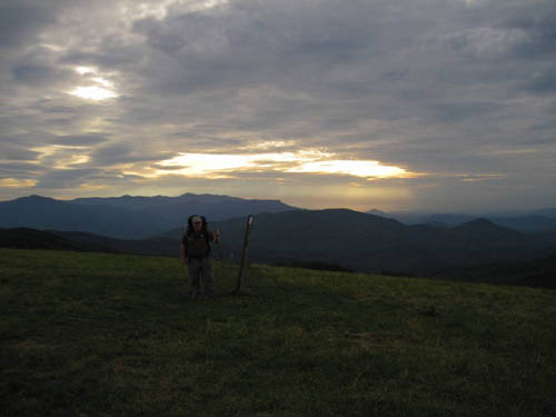
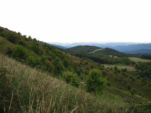
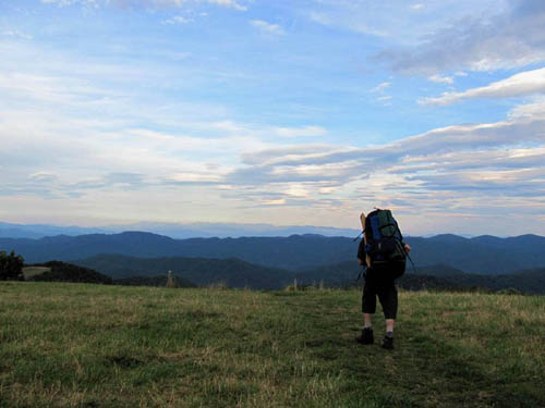
I began loading and unloading my backpack days in advance, tweaking and re-tweaking just about everything, trying to get acclimated to camp life; finally the day arrived, I tossed (well, ‘heaved’ would be more accurate) the pack into the back of Rat Patrol’s car, and we were on the road to Hot Springs. We arrived around 2:30 in the afternoon, but had to wait around a few hours before we could get a ride to the Appalachian Trail-crossing just South of Max Patch. We climbed up the impressive bald mountain just about as the Sun was setting, and the views from the summit were incredible. Fortunately, we hadn’t planned on hiking very far the first day out on the trail, anyway, and we set up camp just before dark about a quarter mile off the summit on the Northern slope under the trees.
It was a bit difficult to sleep that evening, mostly because of the ‘1st night out in the woods camping adrenaline’, but there was also the sounds of the raucous, loud cicadas reverberating in waves, and the occasional cluster of acorns falling through the tree leaves. I also remember listening to an owl off in the distance, but that was rather pleasant by comparison. Just before dawn, there were some coyotes howling, and a little while later, I heard at least a dozen large birds, quail perhaps (judging by the sound), flying off from the ridgeline nearby—apparently they had camped with us on the ridgeline, without our knowing.
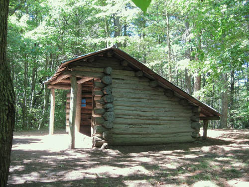
After breakfast and breaking down the camp, we were on the trail. I hadn’t gotten very far (just to the bottom of the first hill) before I stepped in a hole, sprained my left ankle, and fell to the ground. It was a bit sore, being the ‘high ankle sprain’ kind, but I walked it off and continued on to the ‘new’ Roaring Fork Shelter, where I stopped for a snack at the awesome picnic table there. Rat arrived a short time later. After the snack break, we continued on toward Lemon Gap; we hadn’t gone far, however, before I inadvertently stumbled again, this time twisting and spraining my right foot and ankle—it was quite painful, and I had to take a few moments to ‘rub a little dirt on it’ and re-tie my boot before continuing down the trail. We met a couple with a boxer at Lemon Gap, who had passed us while we were getting water at the ‘old’ Roaring Fork Shelter site, and stopped to talk with them for a couple of minutes before climbing Walnut Mountain, where we set up our tents just above the old shelter near the summit.
Sometime during the night, a pack of dogs arrived—I could hear them stomping around outside my tent—I was a bit sleepy and wasn’t quite sure what they were at first (and didn’t really want to know), hoping that if I didn’t pay any attention to them, perhaps they would go away and leave us alone. That was not to be, however, and they became very annoying, barking and stomping around. It seemed like they would never leave. Eventually, I guess they finally left, but just before dawn, a big rainstorm came, swamping my tent as the water somehow found its way underneath.
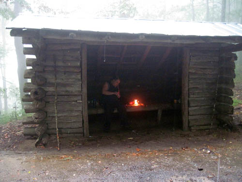
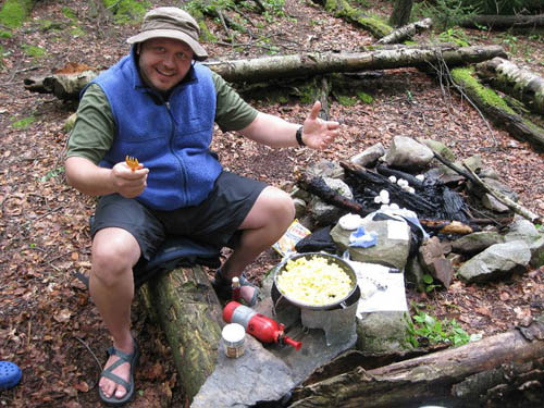
It was still raining quite persistently around noontime, and, having ‘tent-fever’ by then, decided to get up and move around anyway. My rain gear mostly consisted of an umbrella, and as I walked down past the shelter I noticed that the couple with the boxer were still in the shelter (they had stayed there the night before), but they left soon after. When I became aware of their evacuation, I told Rat, who was still holed up inside his tent, and we both decided to sit inside the shelter and cook up some breakfast while the rain was still falling. The rain finally slacked off around 2 pm, but Rat’s back was very sore, and he was still having pain from the motorbike accident, and he had already made the call to have a ‘zero mile’ day. Perhaps I could have convinced him to walk a few miles, if I had wanted to try, but I was a bit tired, having gotten very little sleep, and the truth was, my right foot felt like it belonged to Frankenstein, and my right ankle was still very sore, so as it turns out, there wasn’t any discussing whether we should hike or not—it was Rat’s call, anyway.
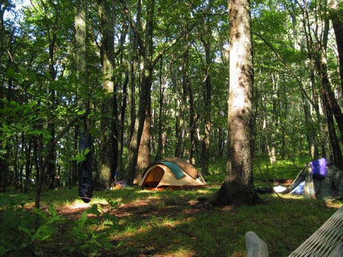
I did, however, decide to move my tent about 75 yards further up the hill to a nice, level camp-spot that made my previous camp seem more like ‘the ghetto’. Rat moved his tent, as well, and we spent much of the afternoon drying out our equipment and resting in the comfortable hammock that I had carried–It was very relaxing, and a great way for me to elevate my foot. I decided to cook an early supper, which turns out to have been a good idea, because not long after dinner, a huge storm blew in from the Tennessee side, the remnants of tropical storm Hermine. First the sky grew dark, and the wind began to pick up, as we could hear thunder off in the distance. Soon after, we could see flashes of lightning from our vantage point on top of the ridgeline. We ‘battened down all the hatches’ all we could, so to speak (I fastened a plastic rain poncho outside of the tent door, which obviously saved me a lot of problems later), and braced for the impending onslaught. I was already in my tent, but could see Rat was still outside facing the storm, like that guy on the shrimp boat in the ‘Forest Gump’ movie, while lightning flashed three quick bursts, like x-rays, all around us. I told him he better get in his tent, and thankfully he did, just as the wind, which had been blowing in on a straight line, began to play tricks with the walls of my tent, causing them to vibrate as the wind now seemed to be swirling as it passed over the mountaintop; it was kind of scary.
That was just the beginning, however, as the rain began to pour down upon us, as if propelled out of a cannon, while the lightning flashes lit up everything, and the thunder rumbled like the voice of an angry Mayan storm-god. It was all very loud, and this went on for a couple of hours, I suppose, if not longer, with the rain and thunder returning in powerful bursts. At one point, we both heard a large tree fall not far up the hill above us. I don’t mean to carry on about the storm too much, but it was very, very intense.
Eventually, there was a lull in the storm, and we had a chance to survey our situation; there was a small pond just outside my tent door, and the rain poncho I had placed in front of it was covered in mud. I was really thankful that we had re-positioned ourselves up the hill to the new camp-spot (what Rat had called the ‘hiker relocation program’) and had taken all the precautions that we did to ride out the ferocious storm. I heard Rat over in his tent say something about getting stung by a yellow jacket, and later on mentioned something about a mouse trying to chew its way inside of his tent, which somewhat surprised me, being at least a hundred yards away from the shelter, where most mice tend to gather, and, after he had banished it from his residence, predicted that it would heading my way. A couple minutes later, something was indeed shaking the walls of my tent, perhaps stress-testing the tent-walls to find the best way inside. I forget what exactly I did to dismiss the critter, perhaps I shook the tent wall, but what was interesting to me was how a minute or two later, I heard the flutter of birds wings flying off from just outside my tent and just knew that an owl had eradicated the pesky mouse for us. Owls are our friends. Although I had hiked this section of trail several times, mostly in the ‘90’s, I had never camped on Walnut Mountain before, staying only long enough to eat lunch, but I feel that I more than made up for that affront by camping out two nights there.
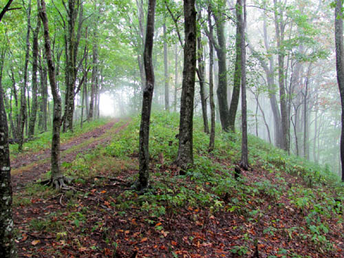
The rest of the night was uneventful, and when the morning broke, it was difficult to tell, because it was still rather dark as a thick bank of clouds rested upon the mountain top. It was also quite windy. Anyway, we ate breakfast while breaking down the camp, packing up everything as it was (soaking wet), which made for a heavier than expected pack-weight. Surprisingly, my ankle felt quite a bit better, and after we were on the trail for a while, we descended out of the thick cloud into Kale Gap before beginning our ascent on Bluff Mountain.
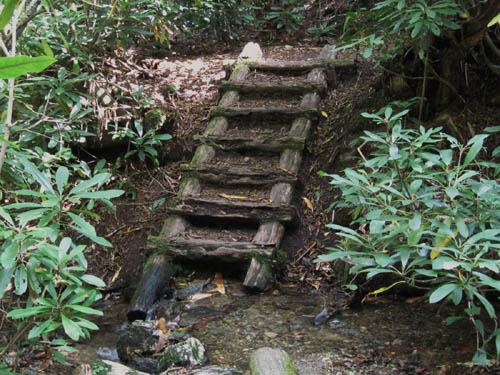
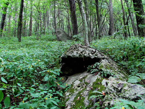
The climb up Bluff Mountain, something that I was somewhat dreading, because of my memory telling me how difficult a climb it is, was much better than expected; in fact, the ascent up this large mountain was quite scenic and enjoyable—getting a fresh start on it in the morning after a whole days rest is much preferable to trying to climb it at the end of a long day of hiking. There were interesting looking boulders all along the trail, and the wind was very refreshing once we reached the main ridgeline, as we re-ascended into the cloud-bank. I decided to stop and take a break at the rocky summit (elevation 4,686’); the circular mound of boulders reminded me of something out of a ‘King Arthur’/Merlin the Wizard’ story, and I enjoyed taking off my boots and allowing my feet to breathe, while eating a snack and waiting on Rat to catch up.
The descent off of Bluff Mountain was long and steep, even with all the new switchbacks that have been installed in the last decade. I was out of water, and since there wasn’t supposed to be any good water sources between Bluff Mountain and the Deer Park Mountain Shelter, I ‘tanked up’ at the ‘Big Rock Spring’, making my backpack even heavier—it was a bit uncomfortable with all the wet equipment and the extra gallon and a half of water. Normally, I wouldn’t carry that much water, but I didn’t expect to make it all the way to Deer Park Mountain Shelter, and was hoping to find a good campsite somewhere beyond ‘Garenflo Gap’. Rat gathered water as well, telling me that he had gotten stung by bees 2 more times. A little while later, I met a friendly southbound ‘thru-hiker’ by the name of ‘Jinglez’, who informed me about the water situation between Bluff Mountain and Hot Springs. I suppose I should have asked her about potential campsites, but it completely slipped my mind.
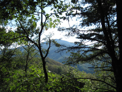
Finding a decent campsite was somewhat of a challenge, but I eventually found one on the ‘land bridge’ between ‘Lamb Knob’ (which had a few nice views looking back toward Bluff Mountain) and ‘Canebrake Ridge’. I was mostly set up, and had stuff drying in the warm late afternoon breeze when Rat Patrol finally arrived; he was expecting to have to walk another 2 miles to the shelter, but I figured, what with all the extra weight we were carrying, that 9 miles was plenty far enough for the day. Although this was the day that we had intended on getting to Hot Springs, as it turns out, that was the most peaceful night that we spent on the trail; the weather was very nice, and no animals bothered us…we were even treated to a beautiful new moon and plenty of stars that were visible through a break in the tree-canopy. I slept like a rock.
The next morning, while we were breaking down the camp, we were passed by nearly 20 friendly day-hikers on their way to Hot Springs. We passed 4 more on our way down to ‘Gragg Gap’. We weren’t in any hurry, having only 5 miles to go until the end of the trip, so we walked up the side-trail to Deer Park Mountain Shelter, and took a snack break there. The rest of the hike to Hot Springs was relatively uneventful, as no one sprained any ankles, or was stung by bees. All in all, it was a good hiking trip.
More…
5 days before leaving for Max Patch, Rat, Tyler, and I went for an 8+ mile day-hike up the ‘Fork Ridge Trail’ to Coldspring Mountain, and out to the ‘Big Rock’…and back. Although it was rather steep in places, I was mostly impressed with the Fork Ridge Trail. It was better maintained, in fact, than the Appalachian Trail was through the ‘Meadow / Bassette Knob’ section, which was completely grown up in head-high stickers and weeds.
There was a bit of an incident on the way to the mountaintop meadow, when I fell off a large, perpendicular boulder that I was attempting to climb. I fell several feet on top of some angular big rocks that were below and ended up upside down, wedged in between a few gnarly azalea bushes. Although I did sprain an ankle and get somewhat bruised and scratched up, I did managed to avoid any serious, lasting injury.
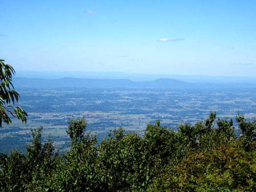
The views from the mountaintop trail and the Big Rock were pretty good, although it was very hot and quite hazy, which isn’t favorable for getting quality photos. It was nice, however, to be standing on the Big Rock, the summit of Coldspring Mountain (elevation 4,838’).
There is one other hike to briefly mention: The hike to the summit of Unaka Mountain (elevation 4,957’), which is a beautiful, and peaceful, place to spend an afternoon.
Now that autumn has arrived, I expect to be out in the mountains quite a lot, and have several trips planned already.
Okeepa
Sadly, my trail-friend ‘Okeepa’ passed away on September 28th, at the age of 40. He had battled cancer for the last 3 years, and was still optimistic about his chances when I last talked with him at Trail Days in May. He was a very intelligent fellow, having earned a Master’s Degree in Biology from William and Mary College, and also knew a lot about music; in fact he knew a lot about many things, which made him something of a ‘renaissance man’. He and his wife, ‘Bev’, were accomplished adventurers. Among his noteworthy adventures, Okeepa had hiked the entire length of the Appalachian Trail in 1996, which was when he received his ‘Okeepa’ trail-name. He was well liked by everyone , and while it is sad to know that he is gone, it is perhaps comforting to realize that he lived a good life and is now off ‘on his next great adventure’. He will be remembered as much as he will be missed.
More adventures soon…
~~~~~~~~~~~~~~~~~~~~Boulderman 9/23/2010


[…] For another perspective on this hike, please visit the ‘Bol’Dar-blog’ HERE. […]